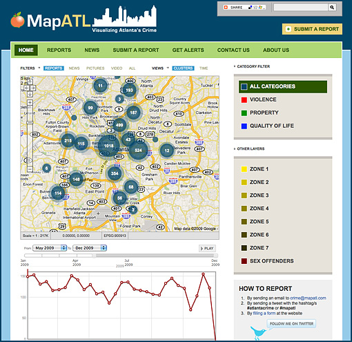
This Christmas I decided to attempt to Map Atlanta's Crime using freely available data from the Atlanta Police Department. This was an effort to test the capabilities of our most recent release (Mogadishu), which include:
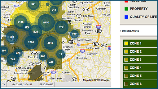 Adding other layers to the map allows you to combine and visualize multiple data sets at the same time, which can lead to interesting revelations. In this installation, I included the Atlanta PD zones, and Sex Offenders. I'll probably be adding more layers as I gain access to the data. While working on project I came across a Batch Geocoder that is incredibly useful for making datasets mappable.
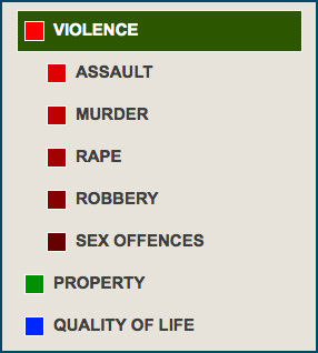 One functionality that we may have forgotten to mention regarding the Mogadishu Release, is that it gives you the ability to group related categories as illustrated above - something that was quite handy in this installation to group different types of crime.
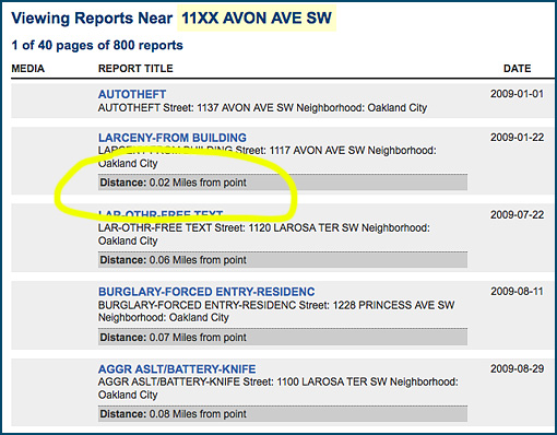 Finally, I realized it might be important to list reports happening near a specific address and order them by distance from the point.
- KML/KMZ Overlays
- Statistics
- Theming and more
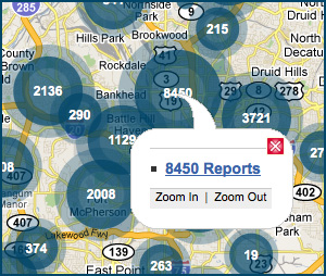
Mapping: Clusters
Mapping: Layers
 Adding other layers to the map allows you to combine and visualize multiple data sets at the same time, which can lead to interesting revelations. In this installation, I included the Atlanta PD zones, and Sex Offenders. I'll probably be adding more layers as I gain access to the data. While working on project I came across a Batch Geocoder that is incredibly useful for making datasets mappable.
Grouping Items
 One functionality that we may have forgotten to mention regarding the Mogadishu Release, is that it gives you the ability to group related categories as illustrated above - something that was quite handy in this installation to group different types of crime.
Proximity
 Finally, I realized it might be important to list reports happening near a specific address and order them by distance from the point.
